Things I learned the hard way: administrative boundaries are mess in software engineering. Similar to names (of people), and dates. Like literally all reasonable assumptions will be wrong.
Recent searches
Search options

Administered by:
#gis
15 posts15 participants1 post today

What can go wrong when Google advertises to mix OpenStreetMap (see screenshot) with their own data via "Geospatial Reasoning"?


topojsonOverviewEncode spatial data as topology in Python! 🌍 https://mattijn.github.io/topojson
ohsome-planet: Export OSM data and its history to GeoParquet: The GIScience Research Group at Heidelberg University and HeiGIT have released version 1.0.0 of #ohsome-planet, a tool for #cloudnative access to #OpenStreetMap (#OSM) data using the #GeoParquet format. Originally developed as an internal tool, it...
https://spatialists.ch/posts/2025/04-11-ohsome-planet-export-osm-data-and-its-history-to-geoparquet/ #GIS #GISchat #geospatial #SwissGIS

spatialists.ch – geospatial newsohsome-planet: Export OSM data and its history to GeoParquet – spatialists.ch – geospatial news
More from  Spatialists

Postpass – a public OSM PostGIS instance
https://community.openstreetmap.org/t/postpass-a-public-osm-postgis-instance/128649
#OpenStreetMap #OSM #postpass #gis

OpenStreetMap Community Forum · Postpass – a public OSM PostGIS instance(this is an updated and translated version of an announcement I did a week ago on the German forum) Hi, frequently on these forums someone asks “how can I extract this or that feature from OSM”, and someone else then replies with an Overpass query or even a ready-made Overpass Turbo link. For some things, Overpass is the ideal solution. But (having used SQL for 30+ years) I often think, well, this would be an easy query for someone who has a PostGIS populated with the OSM planet. Obviously a ...

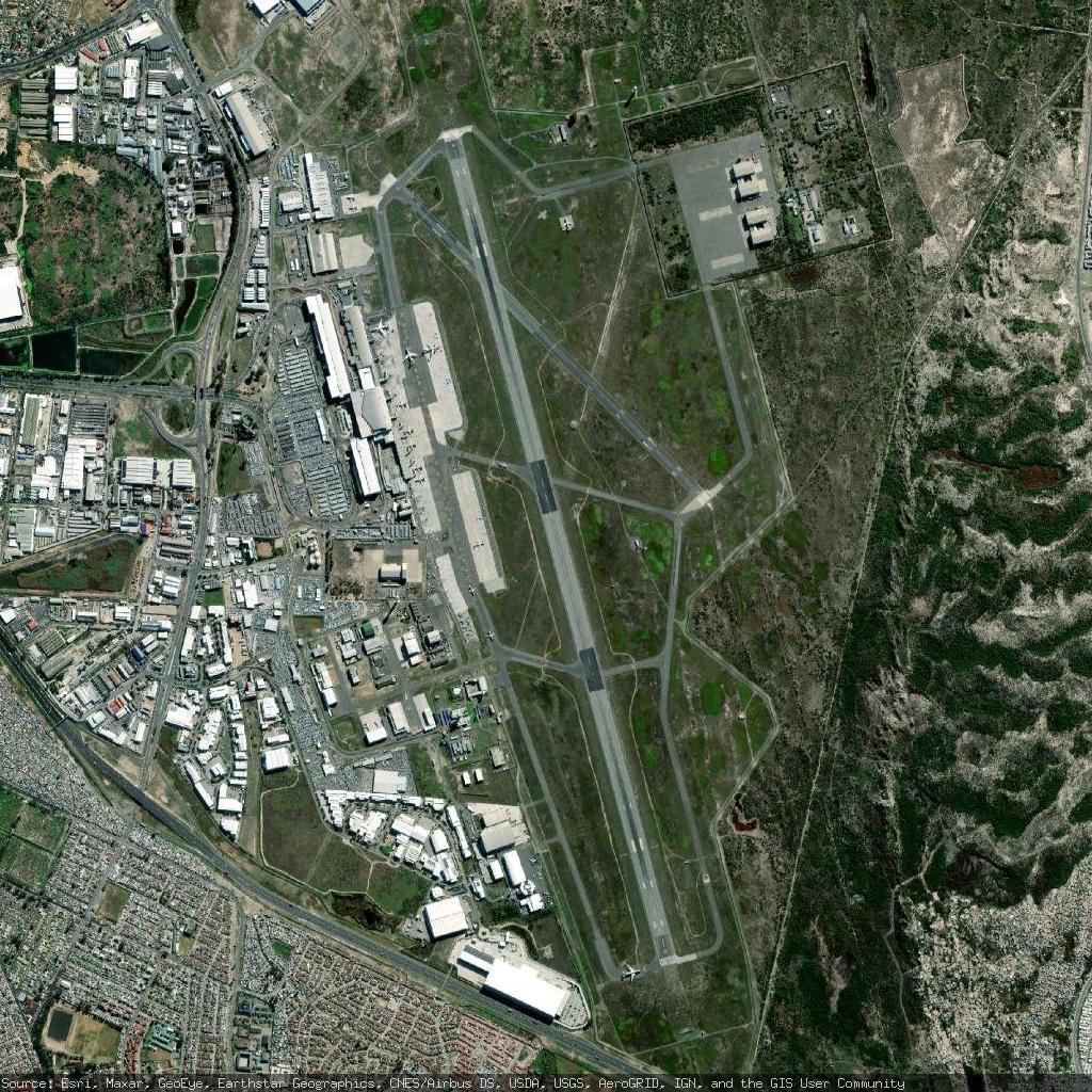
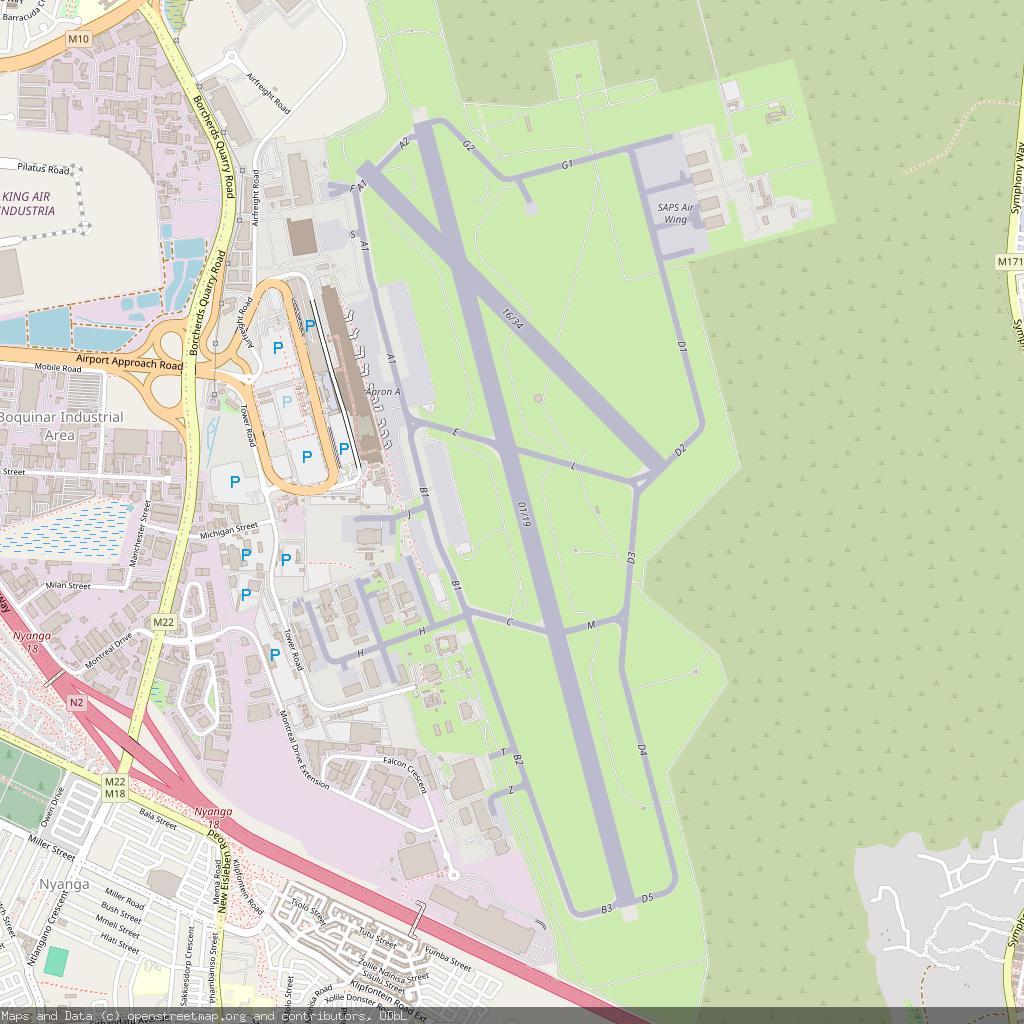
Cape Town International Airport - Cape Town, South Africa
https://en.wikipedia.org/wiki/Cape_Town_International_Airport
https://www.openstreetmap.org/#map=13/-33.964802/18.601700


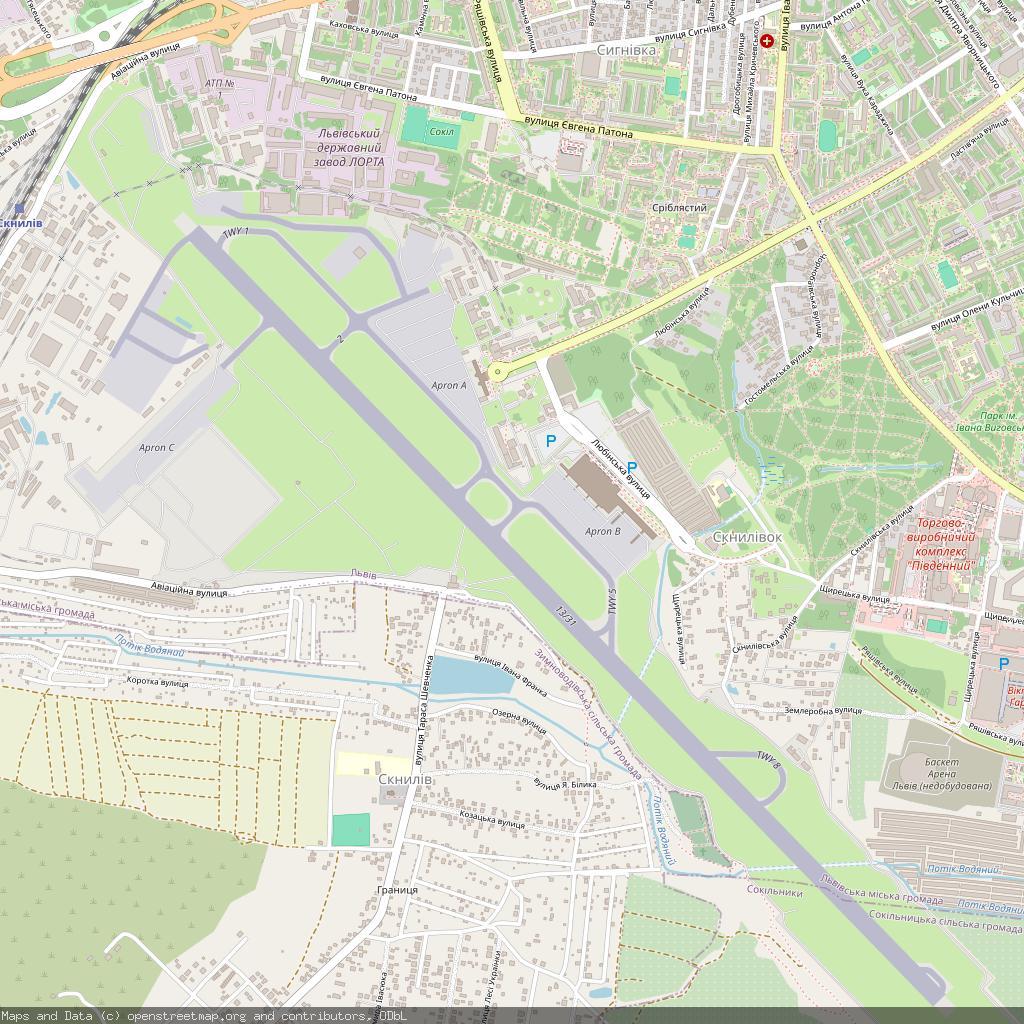
Lviv International Airport - Lviv, Ukraine
https://en.wikipedia.org/wiki/Lviv_International_Airport
https://www.openstreetmap.org/#map=13/49.812500/23.956100

I hope it's not forgotten that rio-cat was the original program for concatenating #GIS simple features from vector datasets for use in UNIX pipelines. It's a thing that I'm proud of having developed and that sparks joy every time I use it.
https://fiona.readthedocs.io/en/stable/cli.html#cat
https://github.com/OSGeo/gdal/pull/12115
fiona.readthedocs.ioCommand Line Interface — Fiona documentation
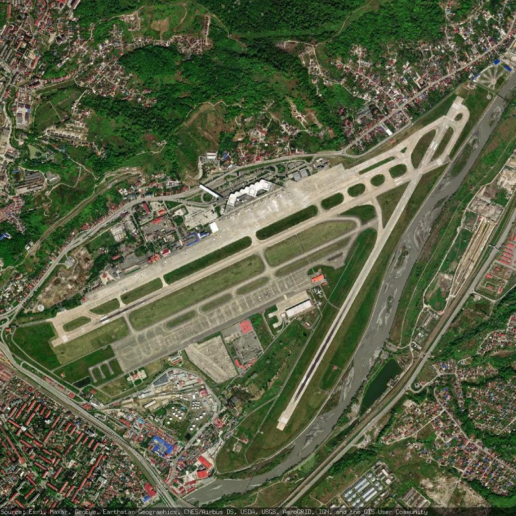
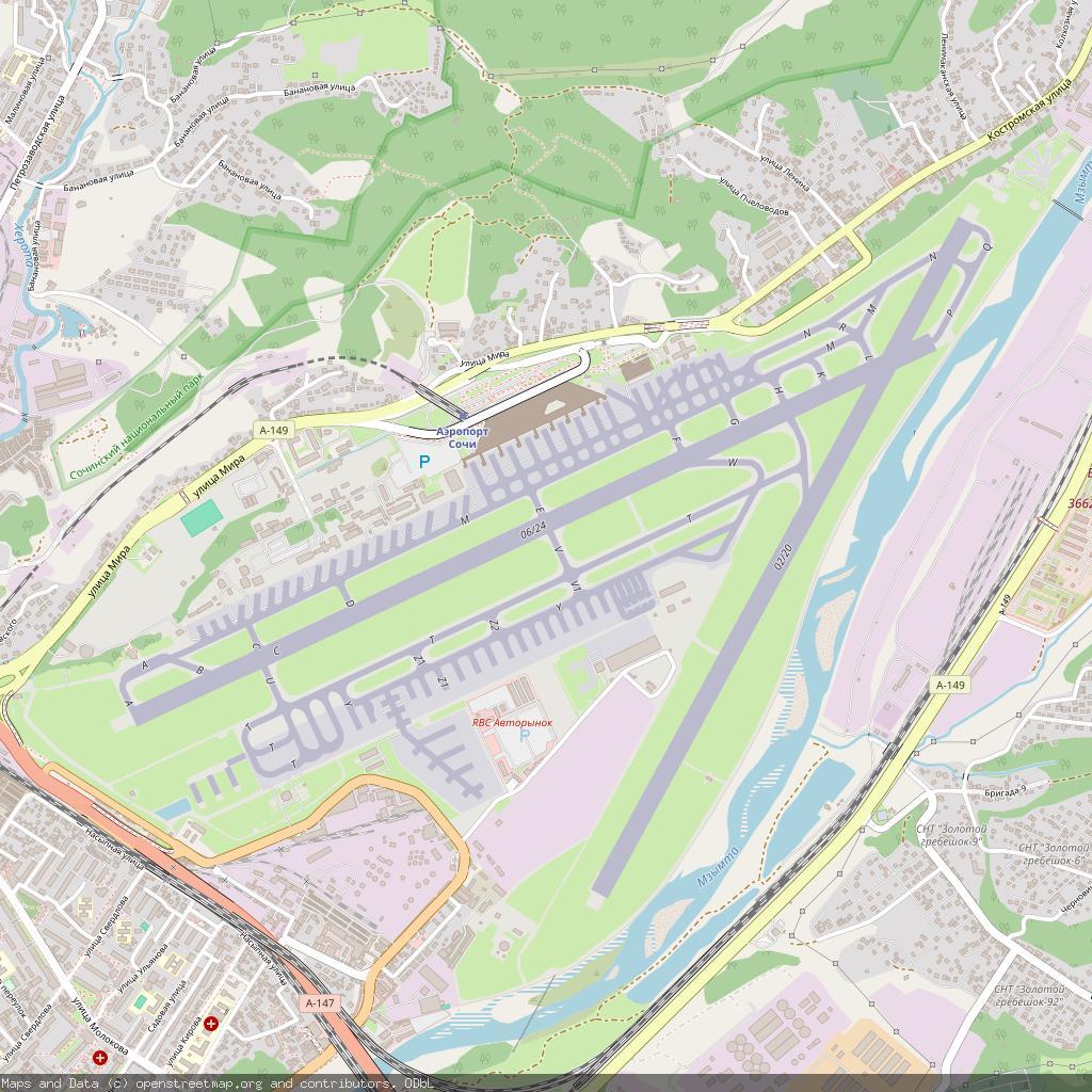
Sochi International Airport - Sochi, Russia
https://en.wikipedia.org/wiki/Sochi_International_Airport
https://www.openstreetmap.org/#map=13/43.449902/39.956600


uMap just released version 3.0, first one to officially support real-time collaborative editing. But also, very importantly: "a first version of a real undo/redo", which used to be a recurring problem when I ran training (a Ctrl + Z would undo all the changes you've made since the last save).
https://docs.umap-project.org/en/stable/changelog/#300-2025-04-07
#uMap #OSM #GIS #FLOSS
docs.umap-project.orgChangelog - uMap documentationuMap lets you create maps with OpenStreetMap layers in a minute and embed them in your site

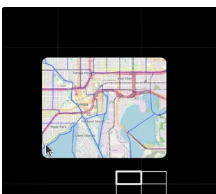
This map quality is insane. Esri / ArcGIS has really nice satellite tiles.

Another remake of the famous "maintainer in Nebraska" strip, this time for #GIS
Original from #xkcd https://xkcd.com/2347/
(I am considering making a T-Shirt)


 MapLibre March updates are here!
• Native & GL JS releases
• Rust support in progress
• Martin v0.16 adds style serving
 Thanks to @MapTiler for joining as a Silver Sponsor!
 Read more: https://maplibre.org/news/2025-04-04-maplibre-newsletter-march-2025/

maplibre.orgMapLibre Newsletter March 2025

 Need to geocode massive address lists? Stadia Maps can help!
 Our new guide shows how to process 100s to 1M+ locations quickly and accurately using our bulk API.
 Learn more here:
 #GIS #geocoding
https://docs.stadiamaps.com/guides/getting-accurate-results-at-scale-with-bulk-geocoding/?utm_campaign=guide_bulk_geocoding&utm_source=mastodon&utm_medium=social

docs.stadiamaps.comBulk Geocoding Guide - Stadia Maps DocumentationLearn how to geocode up to millions addresses at large scale using our bulk API. This guide covers everything from data prep to Python sample code.

Recently, I taught a session on landscape metrics in R—covering how to quantify spatial patterns in landscapes. 

Slides + exercises here:
 https://jakubnowosad.com/rgis2025/output/landscape_metrics.html


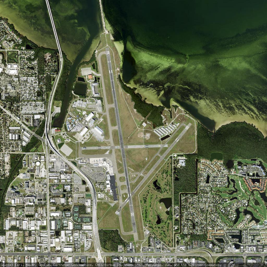
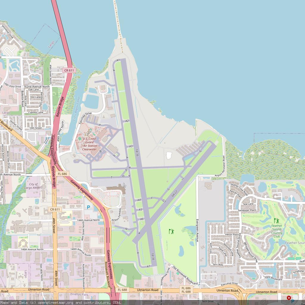
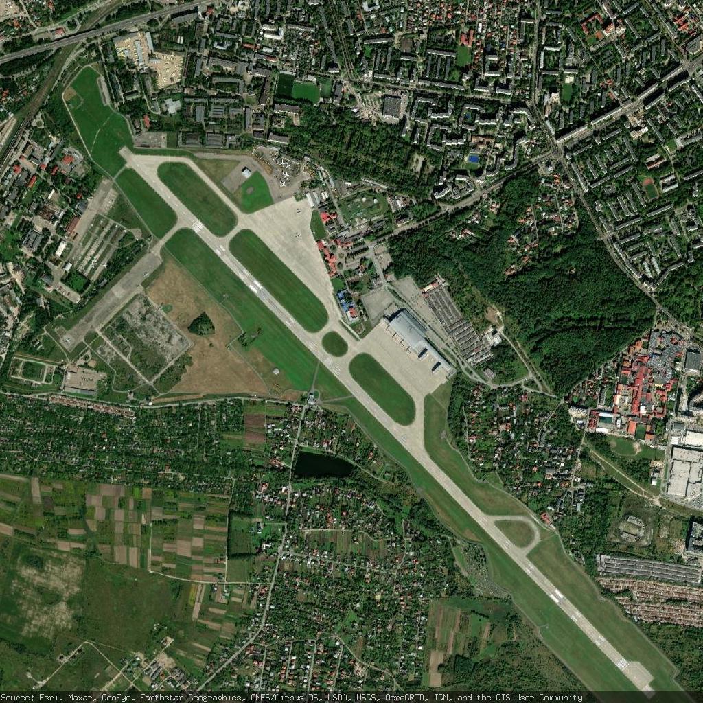
St. Petersburg Clearwater International Airport - Pinellas Park, United States
https://en.wikipedia.org/wiki/St._Petersburg-Clearwater_International_Airport
https://www.openstreetmap.org/#map=13/27.910200/-82.687401